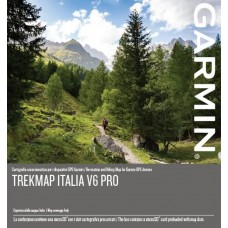
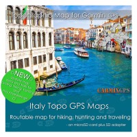
Upgrade your compatible device with highly-detailed recreational maps
of Italy. From the the Alps summits down to the Sicilian beaches, this
topographic map — in a reference scale of up to 1:5,000¹ — contains
versatile route planning for hiking and climbing.
- With extended detailed coverage in Aosta Valley, Marche and Sicily2
- Offers
the largest recreational trail network for Italy, including the
official trails supplied by the Italian Alpine Club (CAI), Regional
Tourist Offices, National and Regional Parks, with an extension of
approximately 200,000 km.
- Includes the Grand Italian Trail
(Sentiero Italia), a more than 6,000 kilometer long hiking trail that
crosses the entire national territory of Italy
- Includes
ActiveRouting², which allows you to customize and specifically plan
routes for the entire road and trail network. The activity specific map
displays highlights of suggested routes in addition to dedicated biking
and hiking routes.
- Includes searchable addresses with street numbers nationwide.
- Features Digital Elevation Model (DEM) with height contours with a 20 m interval.
- Compatible
with our free BaseCamp™ software that lets you plan trips on your
computer and transfer routes and waypoints to your compatible device.
This card is plug and play compatible
with following Garmin navigation devices
- Alpha® 100
- Astro® 320\430
- Dakota® 20
- Edge® 1000\800\810\820
Edge® Explore 1000\820
Edge® Touring - epix™
- eTrex® 20\20x\30\30x
eTrex® Touch 25\Touch 35 - GPSMAP®
276Cx\62\62s\62sc\62stc\64\64s\78\78s
- Montana® 600\610\610t Camo\650\650t\680t
- Monterra™
- Oregon®
200\300\400t\450\450t\550\550t\600\600t\650\650t\700\750\750t
- Nuvi \ Zumo - not all models support
topo map. (please request for checking)
- other models (please send us a
request for checking)
¹Topographic
maps in 1:5,000 and 1:10,000 scale available for these regions:
Lombardy, Piedmont, Liguria, Provincia Autonoma di Trento, Veneto,
Provincia Autonoma di Bolzano, Friuli Venezia Giulia, Emilia-Romagna,
Tuscany, Sardinia, Umbria, Lazio, Calabria, Basilicata, Apulia, Aosta
Valley, Marche, Sicily. The remaining regions are covered with standard
1:25,000 topographic maps
²Additional coverage of the Abruzzo is available separately, as a free download 3ActiveRouting functionalities supported by Montana®, GPSMAP® 64/66, Oregon® 6xx/x50, Edge® 8xx/1xxx and many more
| Software |
| on memory card |
microSD™/SD™ card |
| Download |
by link |

